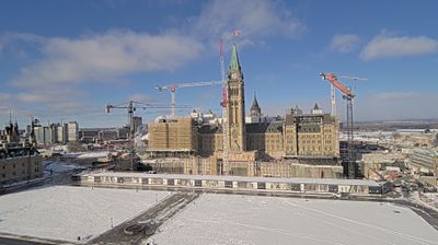
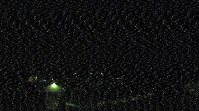
Area B › South: Highway 16 about 22 km east of Burns Lake at Augier Road, looking south
![]() Area B, கனடா
Area B, கனடா
Area B, கனடா
Real-Time Environment
HD Video
24/7 Access
North America
Welcome to the live streaming webcam for Area B › South: Highway 16 about 22 km east of Burns Lake at Augier Road, looking south, perfectly situated in the vibrant region of Area B, கனடா. Watching this live camera allows you to instantly experience the local atmosphere and monitor current climate conditions.

About West Bank areas in the Oslo II Accord
The Oslo II Accord divided the Israeli-occupied West Bank into three administrative divisions: the Palestinian enclaves as "Areas A and B" and the remainder, including Israeli settlements, as "Area C".
📖 Read more on Wikipedia📍 Location Facts
-
Country
 கனடா
கனடா
- Region பிரிட்டிசு கொலம்பியா
- City Area B
- Coordinates 54.1730°N, -125.4609°E