Bátonyterenye › South-east: Piszkéstetö
![]() Bátonyterenye, அங்கேரி
Bátonyterenye, அங்கேரி
Real-Time Environment
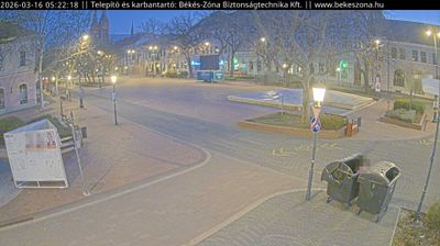
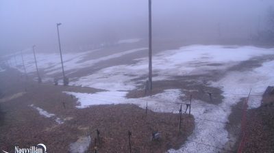
Welcome to the live streaming webcam for Bátonyterenye › South-east: Piszkéstetö, perfectly situated in the vibrant region of Bátonyterenye, அங்கேரி. Watching this live camera allows you to instantly experience the local atmosphere and monitor current climate conditions.

About Bátonyterenye
Bátonyterenye is a town in Nógrád County, Hungary, under the Mátra mountain range, beside the Zagyva river. As of 2022 census, it has a population of 11,296. The town is located beside the Hatvan–Fiľakovo railway line and the main road 21. The M3 motorway is 42.6 km away. The city has two railway stations: Kisterenye in the north and Nagybátony in the south.
📖 Read more on Wikipedia📍 Location Facts
-
Country
 அங்கேரி
- Region Alföld és Észak
- City Bátonyterenye
- Coordinates 47.9000°N, 19.9000°E
Have you been to Bátonyterenye?
Help the community! Share your experience, tell us about the weather, or upload your own photos from this exact location.